Following the map of America here we are traveling in the central area from Panama to Mexico City through lakes, volcanoes and spectacular mountain ranges.
Map of America in hand, the journey along the legendary route Pan continues after overcoming the dangers of the Darien to cross Central America and reach the metropolis of Mexico City. This stretch crosses 7 states for a length of almost 4000 kilometres, also entering the lush tropical forests to then take you across the fascinating Mexican territory, proceeding further and further north towards the United States of America.
Despite the relative safety of the states you pass through in Central America, it is not superfluous to reiterate that before setting off on a journey, direct contact with all local tourist administrations is essential in order to travel with the necessary safety.
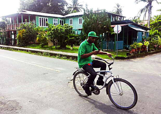
The journey resumes from Panama City, the capital of the state of Panama, taking Highway 1, which crosses the Canal between the two Americas just outside the city, and then heads towards La Chorrera, where you can make a short stop to experience first-hand the hospitality and life relaxed atmosphere of this center little known by mass tourism. The Pan-American Highway continues along the entire length of Panama following the Pacific coast at a short distance, where there is no shortage of spectacular seaside resorts such as Chame Bay or Las Tablas which are worth visiting even at the cost of a short detour from the main route.
The Panamanian route continues through interesting places with a colonial appearance such as Penonomé, Aguadulce and Santiago de Veraguas with the evocative churches with a typical Spanish appearance that still stand out from the low buildings of the rest of the town. Continuing further west you cross the incredible landscape of the Chiriquí region where you can stop for a short excursion among the lush vegetation of the Fortunata Forest National Park, one of the last portions of virgin Central American forest.
The Pan-American Highway continues beyond Panama crossing the border with Costa Rica in the charming town of Paso Canoas and taking the Inter American Highway, also called Costa Rica Highway 2, you arrive within the spectacular mountain range of the Cordillera de Talamanca. In this region you can visit splendid places of great naturalistic interest such as the waterfalls at the foot of Cerro Chipo and the La Amistad National Park where the very rare Tabasara rain frogs live.
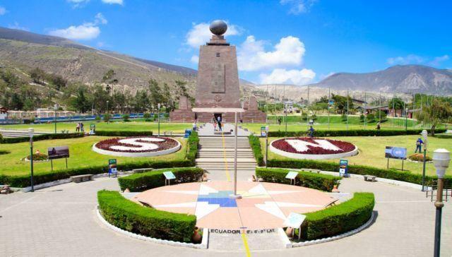
The journey continues until you arrive in the capital of Costa Rica, San José, where you can admire some of the most important museums of the Central American region, such as the Jade Museum and the Gold Museum, and taste the delicious local products in the large central market , the beating heart of city life. After San José, pick up your map of America and take Costa Rica Highway 1 which crosses the suggestive region of Guanacaste Mountain Range up to the district of Liberia, where you can make a small detour towards the natural park of the Tenorio and Miravalle volcanoes, a real naturalistic jewel not to be missed.
About 70 kilometers from the city of Liberia you cross the border with Nicaragua in Pena Blanca, taking Central America Highway 1 which runs along the magnificent Lake Nicaragua, where it is worth stopping to take some photos of the landscape in the direction of the majestic Maderas volcano. In Nicaragua the Pan-American Highway continues straight to the capital Managua, where you can make a short stop in its historic center at Plaza de la Revolución, and then enter Honduras at the small town of El Espino.
Here, the Pan-American Highway joins Central America Highway 1, which crosses the small Central American state in a few hundred kilometers passing through the capital Tegucigalpa, of which to visit the interesting museum of national identity and the evocative public parks that populate the historic centre.
Once past Honduras, Central America Highway 1 crosses El Salvador, the smallest state in the region, and after just 150 kilometers it enters Guatemala, near San Cristobal. The Guatemalan section of the Panamerican Highway approaches some very important cultural centers such as Guatemala City, the capital of the state, with the most important museums for learning about the Mayan civilisation, and the spectacular archaeological sites of Iximché and Zaculeu where it is possible to observe the mighty pyramids protected by tropical forest.
The Pan-American Highway finally arrives in Mexico, in Ciudad Cuauhtémoc, where it joins Mexico Highway 190, entering the state of Chiapas. At this point, the locations and destinations that can be visited while crossing this country are countless and truly all worthy of a stop, but for the sake of brevity we limit ourselves to pointing out Oaxaca, where the marvelous historic center offers an incredible variety of typical architectural buildings Spanish, and Puebla, a UNESCO heritage city for its suggestive baroque centre.
Finally, before reaching Mexico City and its endless urban area, an obligatory stop on the trip is a visit to the Coyoacan neighborhood, where he was born and lived in 1907 Frida Kahlo, and where today it is possible to visit the wonderful Casa Azul, the house where the painter lived with Diego Rivera and which preserves her major works. Leaving Coyoacan we head towards the center of Mexico City, where the Pan-American Highway becomes Mexico Highway 95D and then 85D, and finally the southern half of the journey ends, before starting the glorious ascent through Mexico and the United States following once again the map of America.