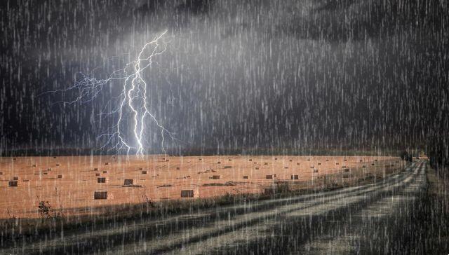
 We must expect a further worsening in the North, where some regions will be at risk of storms
The high pressure caused byanticyclone of the Azores it will persist over the regions of Northern Italy until Thursday.
The Central-Southern regions, however, will still be dealing with conditions of instability, especially in the internal areas and on the Apennine reliefs.
However, by the end of the day we will witness a sudden change in weather.
We must expect a new worsening in the North, with thunderstorms in the Alps extending to the plains of the Triveneto and Lombardia.
It will be especially from Friday that the large disturbance will bring strong thunderstorms first to the North-East, Lombardy and Emilia Romagna, but then also to Piedmont and Liguria.
Even some regions will be a risk of storms. Among these there are Veneto and Friuli Venezia Giulia, but also Emilia Romagna with extension to southern Lombardy.
As the hours pass, the bad weather will move south, hitting the Apennines and the Adriatic regions. In fact, storms are also expected in the Marche, in Abruzzo, Umbria, Molise and Puglia.
In addition to heavy rainfall, we will witness a drastic drop in temperatures. The Bora and Grecale winds are to blame and will bring a sharp drop in temperatures.